The solution
Warwickshire County Council successfully digitized and optimized its historical property drawings using GTX solutions. The transition resulted in streamlined workflows, enhanced collaboration, and time savings, ensuring long-term sustainability and accessibility of important architectural documents.
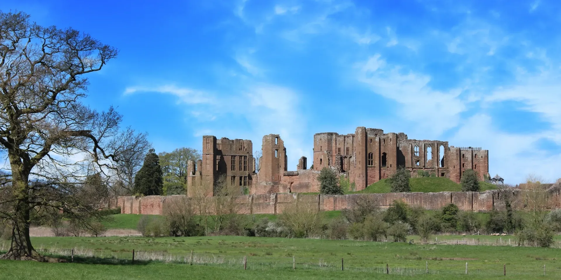
Warwickshire County Council: Digitizing historic engineering drawings
Managing 16,000+ property drawings, Warwickshire County Council needed a digital solution for accessibility and updates. GTXRasterCAD® enabled efficient raster cleaning, hybrid editing, and structured database management, allowing architects to retrieve and modify plans five times faster.
Warwickshire County Council, responsible for over 1,000 properties, including schools, fire stations, farms, and heritage sites, faced significant challenges in managing their legacy property drawings. Their Property Services Department (PSD) needed a modern, digital solution to streamline document access, storage, and updates while maintaining the historical integrity of their records.
Challenge
With thousands of paper-based architectural, electrical, and mechanical drawings, Warwickshire struggled with document deterioration, storage limitations, and slow retrieval times. Many of these drawings existed in multiple locations, making it difficult for engineers and architects to access crucial information efficiently. Manual drafting updates were time-consuming, and the department needed a cost-effective, scalable way to bring their archives into the digital age.
Solution
The council adopted GTXRasterCAD®, integrating it within AutoCAD® to facilitate seamless raster and vector editing. The intelligent image clean-up features allowed engineers to deskew, crop, and despeckle scanned drawings, ensuring high-quality digital versions. Additionally, hybrid editing capabilities meant engineers could modify raster images without full vector conversion. A key improvement was the ability to replace old drawing borders with updated CAD-based versions — streamlining design work while ensuring consistency.
A FoxPro-based database was developed to manage 16,000+ scanned drawings, enabling secure retrieval and controlled access across multiple departments. Remote teams, including architects working on new building extensions, could access digital plans and make quick modifications within a hybrid raster-vector environment.
Result
By leveraging GTXRasterCAD®, Warwickshire modernized its document management approach, improving accessibility, accuracy, and collaboration. Architects now retrieve and edit drawings efficiently, reducing project completion time by fivefold. Additionally, the digital archive is accessible to over 150 users, ensuring smooth planning and record-keeping for property developments.
“The system has proved to be invaluable to our in-house architects for doing extension work.”
- Owen David, Warwickshire County Council